
by Spreck | Feb 12, 2023 | Uncategorized
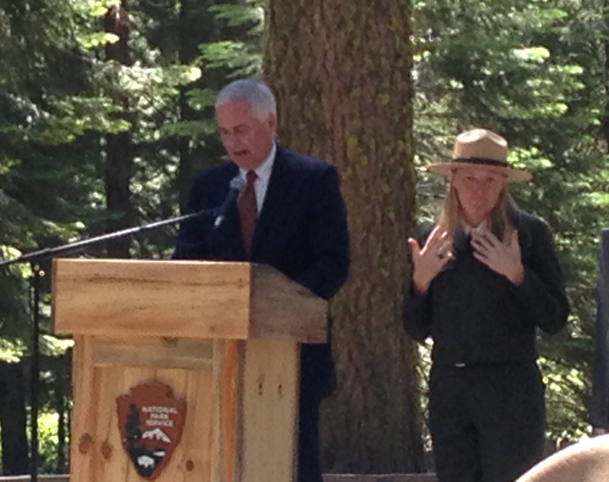
Yosemite National Park is in McClintock’s District
Congressman Tom McClintock has re-introduced the Yosemite National Park Equal Access and Fairness Act, a bill that would allow non-motorized boating, swimming and camping at Hetch Hetchy as well as increase San Francisco’s “rent” for use of the national park.
McClintock’s bill presents an exciting opportunity. Restore Hetch Hetchy is prepared to help build bipartisan support for increased access to the glacier-carved Hetch Hetchy canyon. The bill would provide substantial benefits in the near term as well as inspire visitors to support relocation of the reservoir and restoration of the extraordinary valley.
The bill would also increase San Francisco’s “rent” immediately from $30,000 per year to $2,000,000 per year. A subsequent increase could be much greater as the proposal directs the Department of Interior to consider an increase in rent by the value of foregone recreation had the valley never been flooded.

Many of the recommendations from Restore Hetch Hetchy’s 2021 report – Keeping Promises: Providing Public Access to Hetch Hetchy Valley, Yosemite National Park – are embodied in the bill.
(In addition to $30,000 in rent, the San Francisco Public Utilities Commission currently pays Yosemite National Park about $8,000,000 per year in watershed protection and security costs out of its $1,300,000,000 operating budget.)
It’s rewarding to see that research by Restore Hetch Hetchy and others has paid off. The legislation reflects findings of at least three recent reports:
Restore Hetch Hetchy hopes to see a robust discussion of the merits of the proposed legislation and that we will be able to play a helpful and meaningful role in the months ahead.
Restore Hetch Hetchy is not naïve. We understand that this proposed legislation will be embroiled in a larger political debate. We will, as we always have, stay focused on the merits. Hetch Hetchy, Yosemite, and all our national parks, are too important to do otherwise.
The proposed legislation will not deter us from working cooperatively with the National Park Service, so we are still collecting signatures on our letter to Superintendent Muldoon with an updated list of signatories (without addresses and emails), and we expect to meet again with Muldoon and staff in a few months. In addition, we plan to in coming months to file a petition for increased access with the Department of Interior.
If you have not signed the letter to Superintendent Muldoon, please do so now by clicking on the letter below.

Our vision – returning to the people Yosemite Valley’s lost twin, Hetch Hetchy – a majestic glacier-carved valley with towering cliffs and waterfalls, an untamed place where river and wildlife run free, a new kind of national park – remains the same. Increasing access and recreation is an important and necessary step toward restoration.
by Spreck | Feb 11, 2023 | Uncategorized
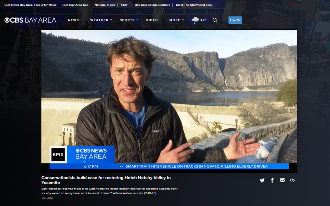
Friday night’s story on our campaign to restore Hetch Hetchy Valley, aired by CBS affiliate KPIX in the Bay Area, was exceptionally well done. Have a look.
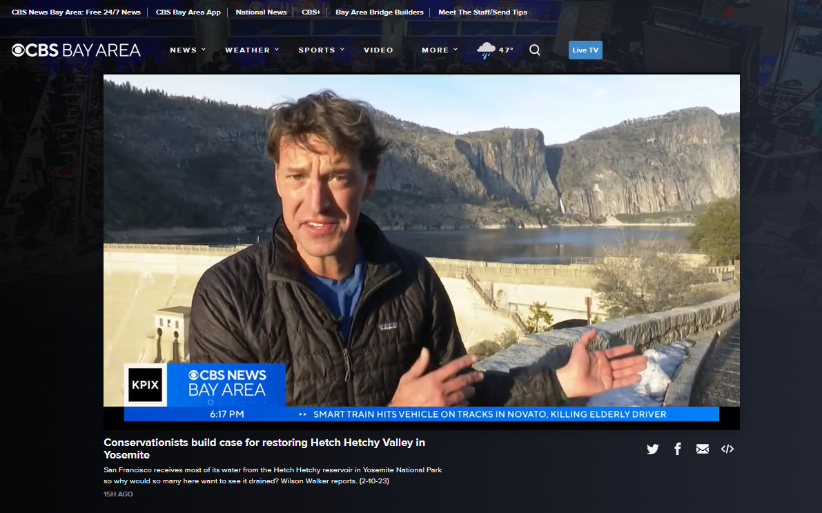
Reporter Wilson Walker helped explain that there are viable water system improvements so no one need lose a drop of water. The piece also included many other important messages as well as some nice shots of Restore Hetch Hetchy’s office. (Walker also related, off camera, that he was surprised at the limited public access in a national park after impatient rangers hurried him out of the Hetch Hetchy area before the daily closure of the entrance gate.)
KPIX added a interview with Dr. Peter Gleick, MacArthur Fellow and President Emeritus of the Pacific Institute. Gleick predicted that restoration would take place, perhaps after a San Francisco politician steps forward. Gleick further noted San Francisco’s dearth of water recycling, especially in light of the substantial ongoing projects in southern California – an option Restore Hetch Hetchy included in Yosemite’s Opportunity (2022), along with groundwater recharge and local surface storage.
The San Francisco Chronicle also repackaged a recent story on San Francisco’s water system which, when all reservoirs are full, holds 7 years worth of water. Today’s story may be available only to subscribers, but the Feb 5 version is available to all.
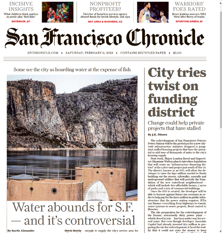
The Chronicle quotes Peter Drekmeier, policy director at the Tuolumne River Trust, who criticizes the SFPUC’s preference for holding as much in storage as possible and releasing little for fish: “The SFPUC hoards water in dry years when they don’t need to. At the height of the recent drought, they still had at least four years in storage … and for the years they were hoarding water, the salmon-based ecosystem suffered.”
Restore Hetch Hetchy’s criticism of the San Francisco Public Utilities Commission is a bit different. We don’t judge them for being too conservative with their water supply. But we do want the SFPUC to invest in improvements they can be better environmental stewards and return Hetch Hetchy Valley to Yosemite National Park without compromising supply for their customers. As we and others have shown, it’s very doable.

by Spreck | Feb 6, 2023 | Uncategorized
Rex Hime
We are saddened that Rex Hime, longtime board member of Restore Hetch Hetchy, passed away over the weekend.
Rex spent much of his professional life as President and CEO of the California Business Properties Association, staunchly defending and advocating for the rights of property owners. He applied the same commitment and passion to RHH and Yosemite – as we all own it and all national parks.
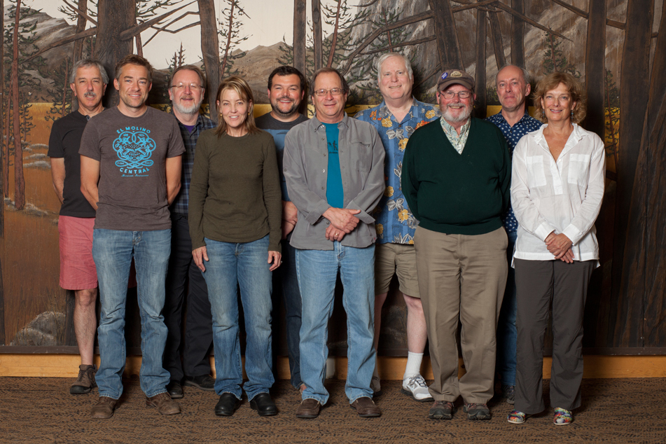
Rex, back row in shorts and customary Hawaiian shirt, along with a bevy of Restore Hetch Hetchy board members. Photo: The Verge Magazine.
Rex brought a wealth of political experience, advice and connections to Restore Hetch Hetchy. His contributions are evident in the legislation that is currently under consideration to improve visitor access and recreation at Hetch Hetchy (more to come on that).
Beyond his contributions, Rex was funny and insightful. He shared his opinion plainly and without malice when he was in disagreement. Rex was warm and friendly – the kind of person who brightened a room.
We will miss Rex, but his spirit lives on.
by Spreck | Jan 22, 2023 | Uncategorized
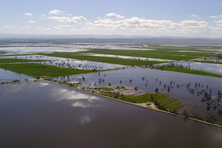
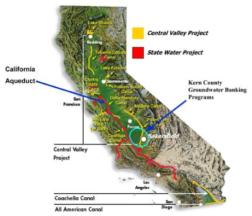
Due to a trifecta of geology, conveyance and institutional incentives, California’s most successful groundwater banks are in Kern County, where water is stored for California’s largest urban agencies as well as for farms. The practice can and should be replicated elsewhere. (Photo PPIC)
Restoring Hetch Hetchy Valley in Yosemite National Park means replacing the water storage function that Hetch Hetchy Reservoir currently provides. As we’ve shown, repeatedly and most recently in Yosemite’s Opportunity: Options For Replacing Hetch Hetchy Reservoir, it’s very doable. The challenge is institutional and lack of political will.
Groundwater recharge is the best and most cost-effective option for extending limited water supplies in semi-arid California. Broad scale recharge programs should be pursued and implemented (independent of whether people support restoring Hetch Hetchy Valley in Yosemite National Park).
Over the past three weeks, a series of storms drenched California and buried the Sierra Nevada deep in snow. Water levels in our large reservoirs have risen dramatically. Some reservoirs have maxed out already. Even if the rest of the winter is dry, the largest Sierra reservoirs will fill when the snow melts – ideally not until well into June.
Storm-driven flows have been pouring into the Pacific Ocean, disappointing many who would like to capture more water for use in cities and on farms – especially if another drought is on the horizon. A bipartisan group of lawmakers protested the “first flush” policy which limits pumping water from the Sacramento-San Joaquin Delta during the first storm of the year in order to protect endangered fisheries.
Others are frustrated that no progress has been made building the proposed Sites Reservoir, eight years after State voters authorized billions in matching funds. (California’s best dam sites were developed between 1940 and 1980; building more dams is possible but the increased costs and lower yields of more remote locations make most locations infeasible, even without considering environmental concerns.
Recharging groundwater is generally the most cost-effective way to increase water supplies, an approach highlighted by recent media coverage. It is time we learn our lesson and take corrective action.
Most of us are aware that there is far more water underground in aquifers than in surface reservoirs, although we have been “mining” that groundwater for more than a century. Groundwater levels have dropped severely in many areas. The 2014 Sustainable Groundwater Management Act (SGMA) requires limited pumping over time and will preserve California agriculture into the 22nd century at significant cost in the near term. SGMA, however, does far too little to encourage aquifer recharge when surface water is abundant.
The New York Times “Daily” podcast explains that we have channelized many of our rivers to flow narrowly between levees, eliminating natural floodplains, to build houses or manage farmland – and suggests that the floodplains should be recreated. The idea of creating such “levee setbacks” to enlarge floodplains has been around for a while – beyond replenishing groundwater, the practice provides habitat for fish and wildlife. In many cases the land can still be farmed in summer – as seen by motorists who cross the Yolo Bypass between Davis and Sacramento. There are some good opportunities for recreating floodplains, but, at the statewide level, setting back levees requires relocating entire communities and is infeasible.
It’s more useful to install infrastructure to enhance recharge – a practice recently evaluated by 200 experts as part of a State-funded Flood MAR (Managed Aquifer Recharge) investigation. (Yes, California may have a shortage of water but there is no shortage of water “experts”.) Enhanced recharge usually means directing water to dedicated spreading basins but often flows can simply flood fields where crops are grown later in the year. With the right geology, water will quickly filter into the ground. Sometimes the water is injected; there are pumps, colloquially called “switch-hitters”, which can be used both to extract and recharge groundwater.
Groundwater recharge is much more cost-effective than building reservoirs or recycling wastewater. The engineers know how to do it, but the practice is beset by institutional and even legal challenges.
It took decades for East Bay MUD (serving Oakland, Berkeley etc.) to initiate a small cooperative pilot program banking groundwater with skeptical irrigation districts in San Joaquin County. East Bay MUD provides the money and water in wet years – in dry years, they get some, but not all, of the water back.
As we have written in Yosemite’s Opportunity, there is substantial opportunity in eastern Stanislaus County to recharge and manage groundwater that could benefit to San Francisco – AND replace the storage function of Hetch Hetchy Reservoir. Installing the infrastructure and establishing a program requires cooperation of multiple agencies and a bevy of landowners.
A plethora of recent press, including a recent Op Ed by Stanford’s Dick Luthy provocatively titled Rain finally came to California. We blew our chance to use it, has been helpful. Elected leaders and water agency mangers are paying attention now, bur real progress will require significant follow-through.
Will cities and irrigation districts learn the value of working together? Do we need legislation to build on the Sustainable Groundwater Management Act to prioritize recharge?
Getting groundwater recharge right can extend water supplies in California at lowest cost and should be one of California’s top priorities.
by Spreck | Jan 16, 2023 | Uncategorized
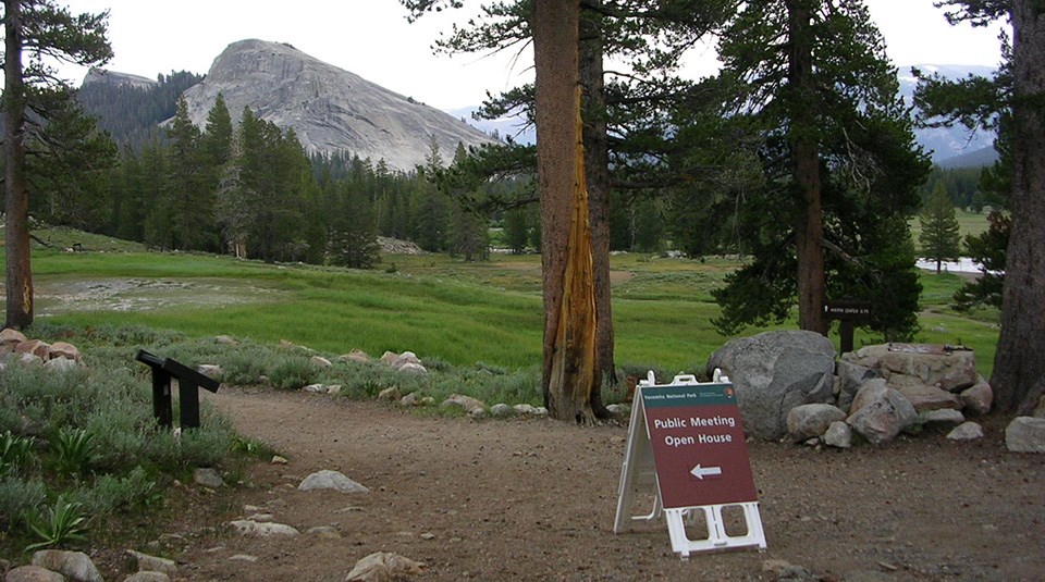
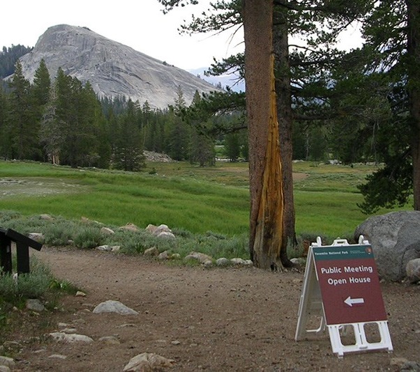
Yosemite National Park has initiated a public period for its Visitor Access Management Plan – open through February 3, 2023.
Comments can be submitted here – it is easy and takes only a couple of minutes.
This is a good opportunity to tell the National Park Service that access and recreational opportunities at Hetch Hetchy need to be improved. Restore Hetch Hetchy’s recommendations are listed below.
- Leaving the gate at the Hetch Hetchy entrance open 24 hours a day under normal circumstances, similar to the policy at Yosemite’s other 4 entrances;
- Expanding trails;
- Improving the campground and allowing all visitors to stay overnight at Hetch Hetchy;
- Allowing low-impact, non-polluting boating on the reservoir; and
- Providing public transit to Hetch Hetchy.
Thanks for your help. Park visitors need to go to Hetch Hetchy to appreciate its beauty. Once they learns its history, most will support the campaign for Hetch Hetchy’s restoration.
Restore Hetch Hetchy will be resending our letter to Superintendent Muldoon with an updated list of signatories (without addresses and emails), and we expect to meet again with Muldoon and staff in a few months. In addition, we plan to file a petition for increased access with the Department of Interior and will be asking Congress to reintroduce the Yosemite National Park Equal Access and Fairness Act.


