by Spreck | Jul 23, 2023 | Uncategorized
Dam removal on the Klamath River has begun at last.
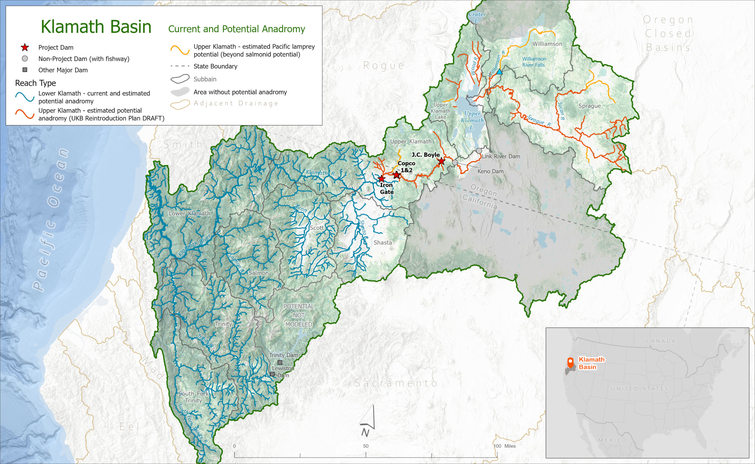
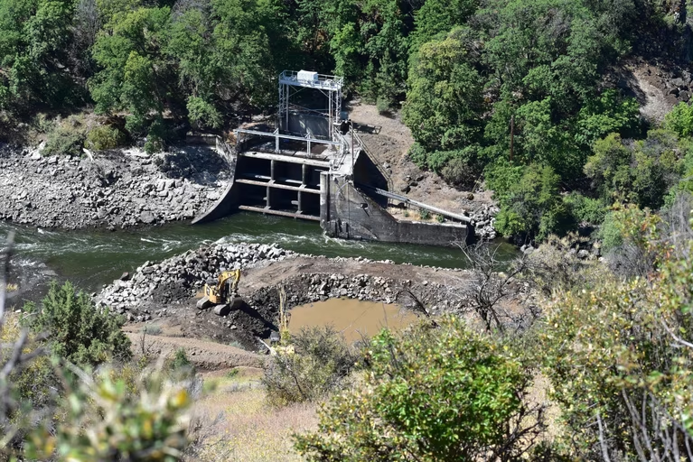
Crews have largely demolished Copco 2, the smallest of the 4 dams on the chopping block. The reservoirs behind Iron Gate, Copco 1 and J.C. Boyle will be drawn down next winter allowing further dam removal to begin in spring of 2024. Oregon Public Broadcasting has provided a nice summary of how the dam removal process will work.
Remnants of Copco 2 – the smallest of the Klamath Dams. Photo Juliet Grable / JPR
The impetus for removal of the 4 Klamath Dams is the 2002 “fish kill”, when tens of thousands of spawning salmon died as a result of degraded water quality and high temperature on the lower reaches of the river.
Dam removal will help salmon in two ways. The nutrients in runoff from upstream farms will no longer “cook” in the hot reservoirs, so water quality will be improved. In addition, salmon will have access to additional spawning habitat. Truly measuring the success of the program will take some time, but water quality measurements will come soon and speculation will be impossible to resist.

The Klamath dam removals are all near to the Oregon-California border, downstream of the farms in the Klamath Basin. The Karok, Yurok and Hoopa Valley reservations are closer to the coast. The middle section of the river is popular for fishing, rafting and swimming. It is all beautiful country. (Click image to enlarge)
Restoration of the Klamath’s salmon populations are particularly important to tribes on the lower Klamath – the Hoopa Valley, Yurok and Karok Tribes have depended on salmon for sustenance and culture for millennia.
Dam removal will provide benefits to tourists as well. If you haven’t been to the Klamath, check it out. The 120 mile drive from Highway 5 to Weitchpec is spectacular. The fishing, swimming and rafting are all great and there are oodles of campgrounds.
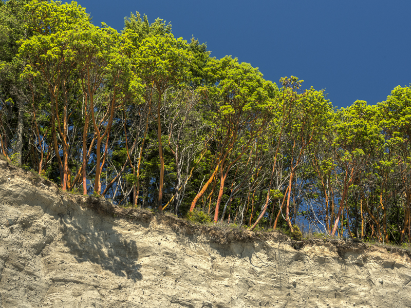
The stands of giant madrone trees along the Klamath are especially impressive.
Unlike Hetch Hetchy, the Klamath dams are not part of any municipal or agricultural water supply system – they are all downstream of the farms in the Klamath basin. Roughly 696 gigawatt-hours of hydropower will need to be replaced annually – about twice the amount that will be lost when Hetch Hetchy is restored.
Replacing electric power costs money, but it’s institutionally simpler than improving water supply and it’s easier to find alternatives. Many water agencies in California have reaped tremendous financial and supply benefits by working together. San Francisco, however, has not pursued opportunities to work cooperatively with the Turlock and Modesto Irrigation Districts or others who use the lion’s share of the Tuolumne River – something it should be doing even though it has no intention (presently) of giving up Hetch Hetchy Reservoir.
At Restore Hetch Hetchy, we recognize that our challenge, at least politically, is greater than that of the Klamath tribes and restoration advocates. But it’s wonderful to see dam removal and such a restoration program finally underway.
by Marissa | Jul 8, 2023 | Uncategorized
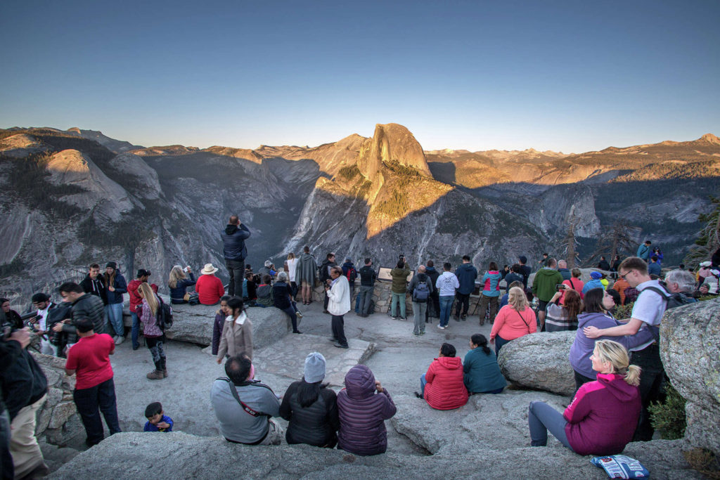
Image: George Rose/Getty Images/San Francisco Gate
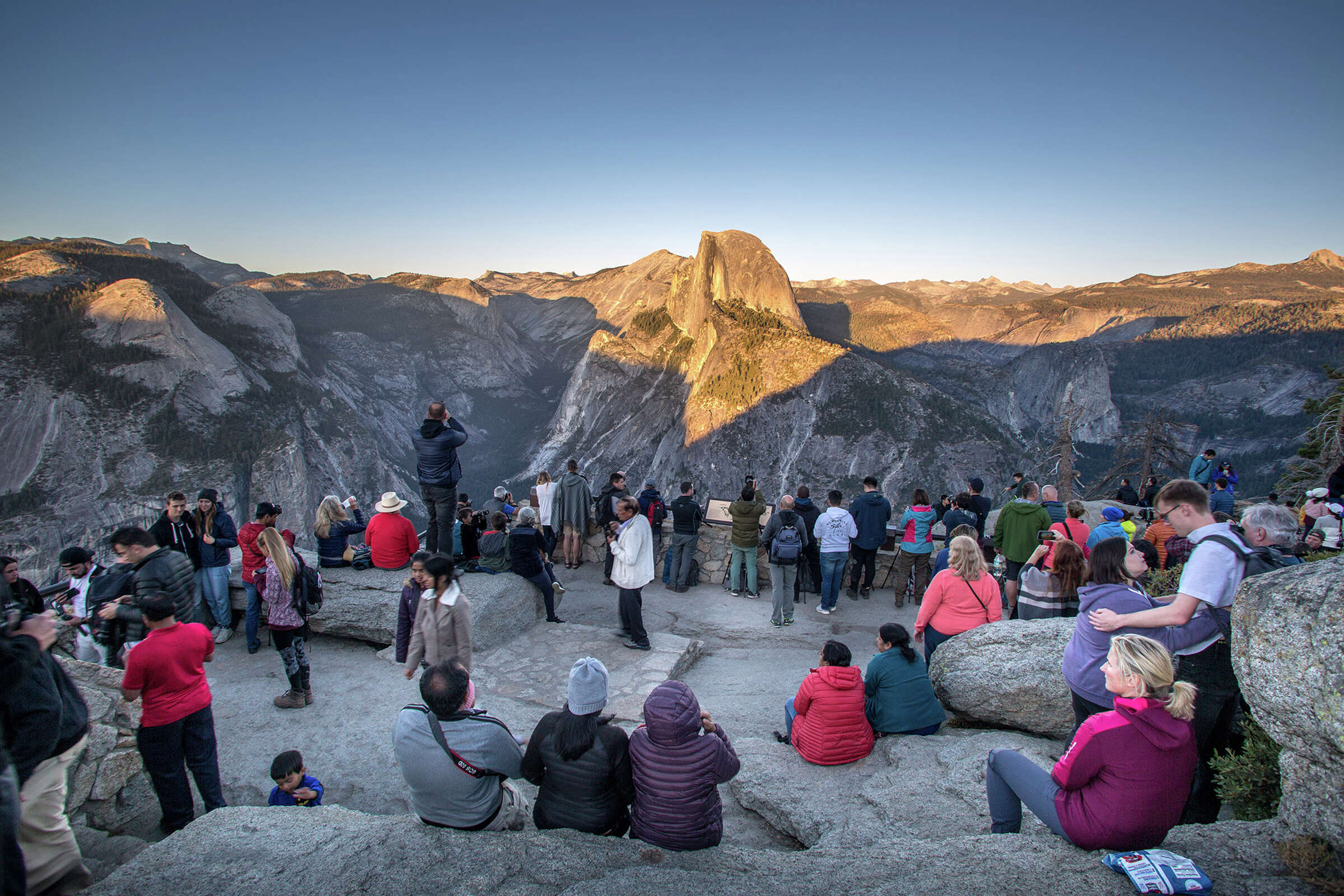
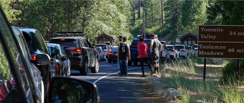
During the July 4th holiday this past week, Yosemite National Park experienced unprecedented crowds. The San Francisco Gate published a story detailing the 4-hour wait at the entrance gates of the park over the weekend. Cars parked and idled for miles, hoping to get into Yosemite Valley.
The long line of cars didn’t even have a guarantee that they would be able to enter the Valley after waiting for hours. Yosemite Valley closed to vehicular traffic when parking filled, and cars were turned around at El Capitan over and over for most hours of the day.
In response to the massive crowds, the National Park Service is piloting a new “traffic alert” system both through their social media and via text alerts. According to this system, all parking in Yosemite Valley has been full by around 9 AM over the weekends and including some weekdays.
Following the end of a few years of operating under a reservation system, which has been implemented by nearly all major national parks in the country, Yosemite Valley is seeing the most unmanageable crowds it has ever seen. The National Park Service dropped the reservation system for Yosemite this summer, and is now attempting to control an overwhelming influx of tourism without limiting numbers at the gates.
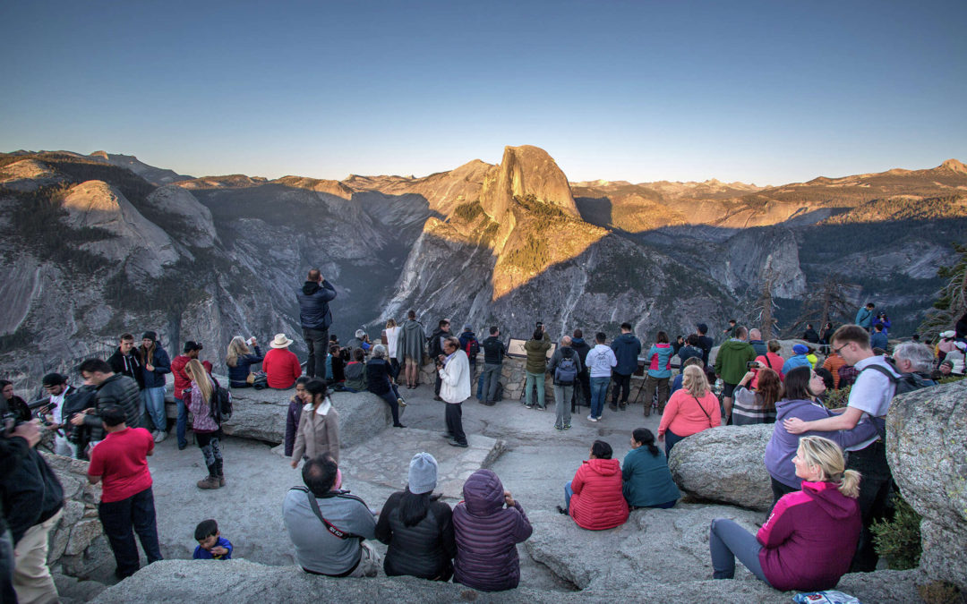
Yosemite National Park currently receives between 3 and 5 million visitors per year, the majority of which visit in the summer months. In light of the uptick in park tourism post-pandemic, and the visitation it is currently receiving, Yosemite is on track to have its busiest year ever.
Most of these visitors never explore beyond the 5-square miles of Yosemite Valley. The few that do usually visit the high country, but with the opening date for Tioga Pass still unclear, traffic is now diverted nearly entirely to the Valley. Meanwhile, Hetch Hetchy remains underutilized.
Hetch Hetchy was never included in the park’s reservation system, because it has been largely neglected by both the National Park Service and the city of San Francisco since the construction of the dam and is visited less often. This spring, however, as the record breaking snowpack turns into thunderous waterfalls, Hetch Hetchy has seen a marked increase in visitors, as well. We see this as a good thing. We need more people to visit, to learn Hetch Hetchy’s story and to join the campaign for restoration.
Restore Hetch Hetchy continues to work with the National Park Service to find solutions to improve the visitor experience at Hetch Hetchy, including recently expanding the entrance gate hours. We are also pursuing steps to improve the campground and allow visitors to camp overnight at Hetch Hetchy (without a backcountry permit, which is currently required).
Hetch Hetchy offers an alternative to park visitors when Yosemite is packed beyond its capacity, even with the dam in place. Solutions to divert traffic out of Yosemite Valley are sorely needed, and this summer is making that abundantly clear.
On July 6th, the National Park Service launched its second round of public comment for its Visitor Access Management Plan. During the last public comment period, NPS received comments joining our call for better access at Hetch Hetchy. Since then, progress has been made with expanded gate hours, but there is still much more to be done. Please comment and let the National Park Service know that expanding recreational access to Hetch Hetchy can and will help manage the crowds that overwhelm Yosemite Valley.
We are also still collecting signatures in support of improving access and recreation at Hetch Hetchy for our letter to Superintendent Muldoon. We’d like to resend it when we get to 1,000 signatures (we’re close), so please sign if you have not already.
by Spreck | Jun 23, 2023 | Uncategorized
The bridges across Wapama Falls, in their current state, are too dangerous to cross at high water. San Francisco is required to maintain this trail – and thus the bridges – as required by the 1913 Raker Act.
The National Park Service is in the process of updating its management agreement with the San Francisco Public Utilities Commission.
The most recent version of the agreement, completed in 2019, has the sexy title “Memorandum of Agreement Between City and County of San Francisco San Francisco Public Utilities Commission and National Park Service Yosemite National Park for Comprehensive Management of Watersheds within Yosemite National Park Supplying the San Francisco Regional Water System”.
We’ll call it the MOA.
Most of the 2019 MOA is about watershed protection and security (some of the security elements are redacted in the public version). Restore Hetch Hetchy believes the 2019 document is inadequate in several respects. We asked the National Park Service to release a public draft before the 2023 version is finalized. The NPS declined.
So we have written to the National Park Service and the San Francisco Public Utilities Commission expressing our view that the 2019 document does not comply with the law in several respects. The letter is pretty self-explanatory, but we’ll summarize it here:
- The NPS should not restrict access to Hetch Hetchy based on security concerns. If the SFPUC is concerned about security, it should fund additional supervision or take other measures that do not restrict the public from visiting its national park.
- Constructing and maintaining the trail that crosses Wapama Falls is San Francisco’s responsibility under the Raker Act. The bridges need to be safer at high water. After all, hikers have been swept off to their deaths when the flow of Falls Creek is high.
- The Raker Act also requires that San Francisco provide water to the campground at Hetch Hetchy – presently relegated to use only by backpackers. The water provided is not potable. Restore Hetch Hetchy believes this is unacceptable.
- The boat ramp at Hetch Hetchy is unusable at present. The NPS may need to use it for emergencies as they have in the past. It should be fixed.
- The NPS should not hand out the SFPUC’s materials to visitors. Also, the NPS policy of supporting the SFPUC’s (rare) filtration exemption is not permitted by the Raker Act.
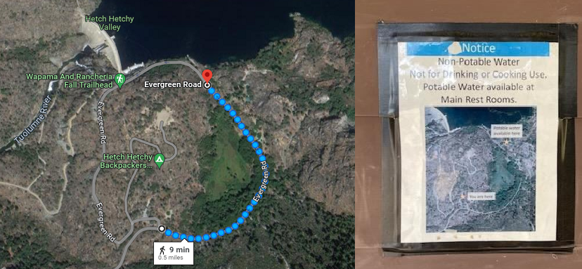
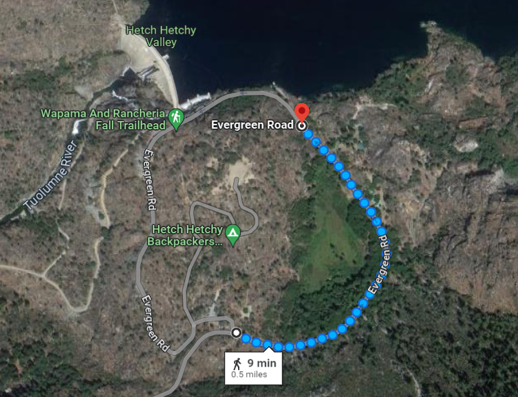
Anyone staying at the Hetch Hetchy campground must walk almost a mile to get drinkable water.
We have not heard back – from either the NPS or the SFPUC. We will keep you posted.
by Spreck | Jun 17, 2023 | Uncategorized
Improving the visitor experience at Hetch Hetchy, even while the dam is in place, will draw more people. They will marvel at Hetch Hetchy’s grandeur, explore its canyon, and learn its story. We expect most will support the campaign to restore the valley to its natural splendor, returning Hetch Hetchy – a majestic glacier-carved valley with towering cliffs and waterfalls, an untamed place where river and wildlife run free – to the people.

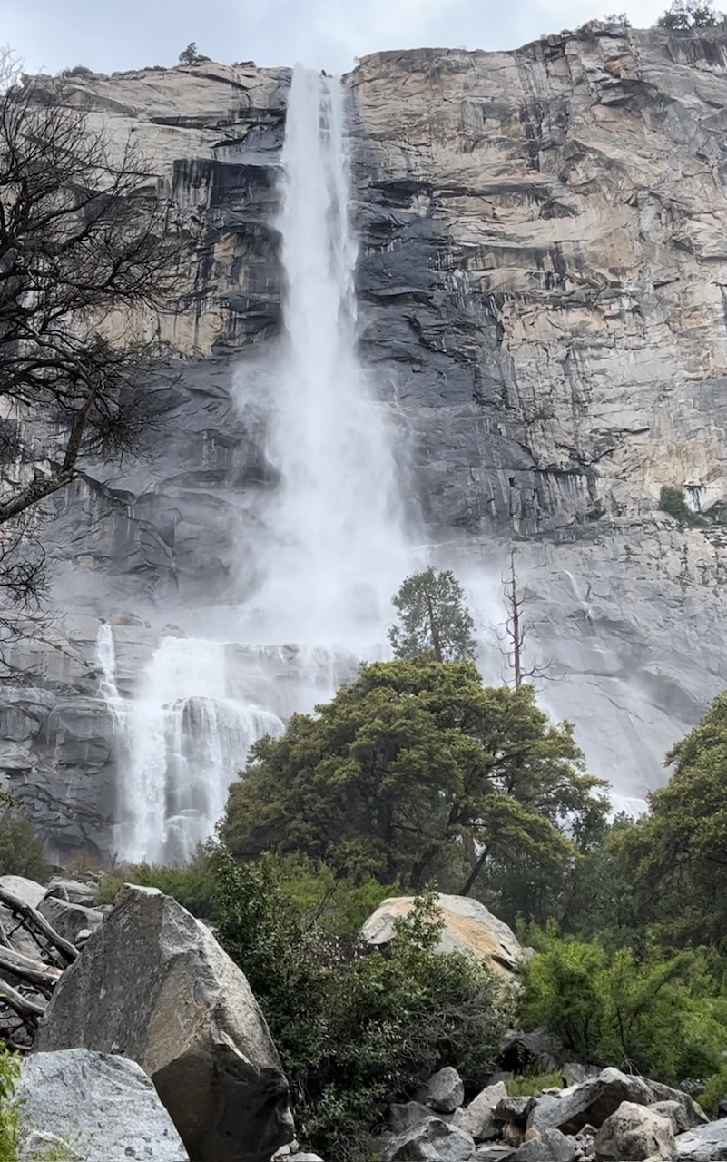
Tueeulala Falls in early June of this very wet year. Not exactly “descending like thistledown” as John Muir described it, but pouring over the brim of the canyon and drenching the land below. Photo: Becky McCall
On June 1, Restore Hetch Hetchy staff and a few board members met with National Park Service staff under the trees just outside Yosemite’s principal administration building. This was the most recent of our bi-annual meetings, initiated shortly after we released Keeping Promises: Providing Public Access to Hetch Hetchy Valley, Yosemite National Park in 2021.
This meeting included discussion of most of the principal recommendations we made in our Keeping Promises report regarding Gate hours, Camping, Trails & Boating – as well as a few other related items.
Gate Hours
We were pleased to hear that the NPS has expanded visitor hours at Hetch Hetchy. They told us the change was made in part because Restore Hetch Hetchy had made a strong case that the limited hours diminished the visitor experience. Before making this change, however, the NPS had commissioned the Bureau of Reclamation to do a “security assessment” which found that more visitors over longer hours did not threaten security. (Restore Hetch Hetchy has not been allowed to see the official report.) We are hopeful that the National Park Service will continue to relax restrictions at Hetch Hetchy and that visitors will be allowed entry 24 hours per day as they are in the rest of Yosemite.
Camping at Hetch Hetchy
Camping is still only permissible for those leaving for or returning from a backpacking trip. The National Park Service seems open to allowing others to camp at Hetch Hetchy but has told us the campground, and especially its bathroom with only non-potable water, needs to be improved. Restore Hetch Hetchy will continue to work with the NPS toward making necessary improvements and will encourage assistance from both San Francisco and Yosemite’s philanthropic partners.
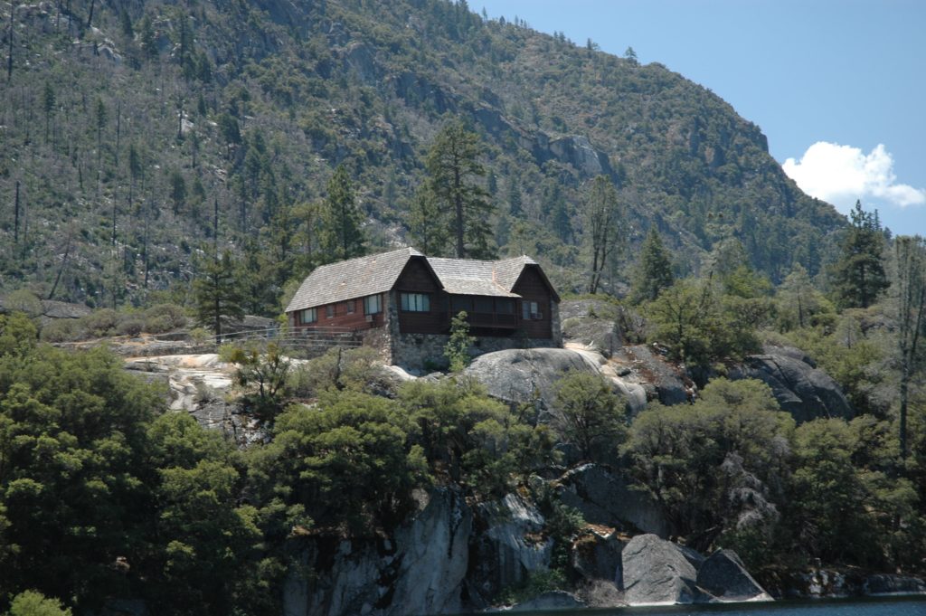
The lack of camping at Hetch Hetchy is particularly annoying given that the San Francisco Public Utilities Commission authorizes up to 30 visitors at a time to stay in its three cabins – often for clearly recreational purposes unrelated to the operation of water and power facilities.
Trails
We talked at some length about trails. Restore Hetch Hetchy would like to see additional trails – to the canyon rim near the top of Tueeulala Falls, up Kolana Rock, and to the Grand Canyon of the Tuolumne without the lengthy detour around Rancheria Mountain (an issue much discussed and never resolved a century ago). The NPS notes that new trails are a big deal and they are not commonly built in Wilderness Areas (most of Yosemite National Park is designated Wilderness, ironically including lands adjacent to the rather non-wilderness Hetch Hetchy Reservoir). We pushed back – a discussion to be continued.
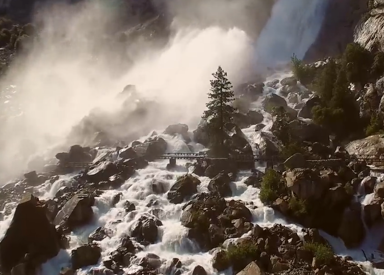
We also asked about the planned improvement of the bridges at the base of Wapama Falls. (When the falls are high, the westernmost of the bridges is unsafe to cross – indeed, hikers have been swept off to their deaths.) The National Park Service explained they have begun replacing this bridge but it has been a challenge getting the right equipment in place.
While the NPS is taking responsibility for repair/relocation of this principal bridge, it’s really San Francisco’s responsibility (at least Tuolumne to supply the funds). The bridge is along one of four “roads or trails” identified as San Francisco’s responsibility under the Raker Act. It’s impossible to safely view Wapama Falls when they are at their finest because the valley has been covered by the reservoir, boats are not allowed, and bridge is inadequate. The visitor experience at Hetch Hetchy has indeed been shortchanged.
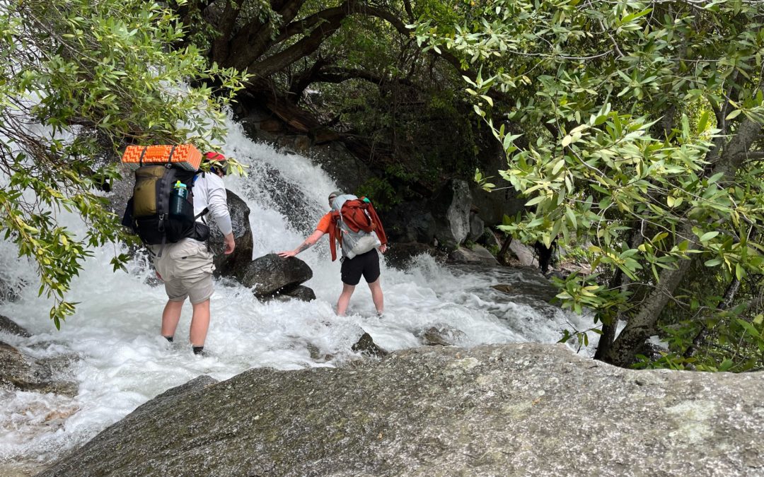
Hikers struggle to cross the cascades at the bottom of Tueeulala Falls without slipping. Restore Hetch Hetchy supports minimal development but does believe park visitors should be able to safely explore the Hetch Hetchy Canyon – especially locations otherwise rendered inaccessible by the reservoir. When there’s this much water at the base of Tueeulala Falls, crossing the larger Wapama Falls is likely to be inadvisable.
Photo: Becky McCall
Hikers struggle to cross the cascades at the bottom of Tueeulala Falls without slipping. Restore Hetch Hetchy supports minimal development but does believe park visitors should be able to safely explore the Hetch Hetchy Canyon – especially locations otherwise rendered inaccessible by the reservoir. When there’s this much water at the base of Tueeulala Falls, crossing the larger Wapama Falls is likely to be inadvisable.
Interpretation
There is no signage near the O’Shaughnessy Dam that tells of the history of Hetch Hetchy – its glaciated past, the Native peoples who lived in the valley for millennia, or the unprecedented nationwide outcry and political battle when the Raker Act went before Congress in 1913. San Francisco has installed their own signage on the dam. It’s time for the public to learn the more complete story and we will continue to work with the NPS on improved signage.
National Park Service Memorandum of Agreement with San Francisco
The National Park Service has been renegotiating its “MOA” with San Francisco, something it does every four years or so. The current MOA, set to expire this year, includes San Francisco’s reimbursement of $M 8 per year to the NPS of expenses incurred – primarily related to security and watershed protection.
Restore Hetch Hetchy has asked to see a working draft of the terms of the next MOA. Our request was denied. We will, however, be insisting the agreement include funding which covers items for which San Francisco bears legal and financial responsibility. These items include any security related expenses (including monies to keep the gate open 24/7), repair of the damaged boat ramp, repair/replacement of the bridges at Wapama and potable water at the campground.
The Hetch Hetchy area has languished for 100 years as the National Park Service has been very busy managing the rest of the park. We respect and honor the commitment of Yosemite’s Rangers, but we are nonetheless holding their feet to the fire as we work to improve the visitor experience at Hetch Hetchy.
While we are making progress with the cooperative engagement, we are still also working on both legislation and a legal petition to improve access at Hetch Hetchy as well. All three approaches – cooperative, legislative and legal – share certain elements but differ in some respects.
We will keep you posted on further developments.
by Spreck | Jun 10, 2023 | Uncategorized
Friends,
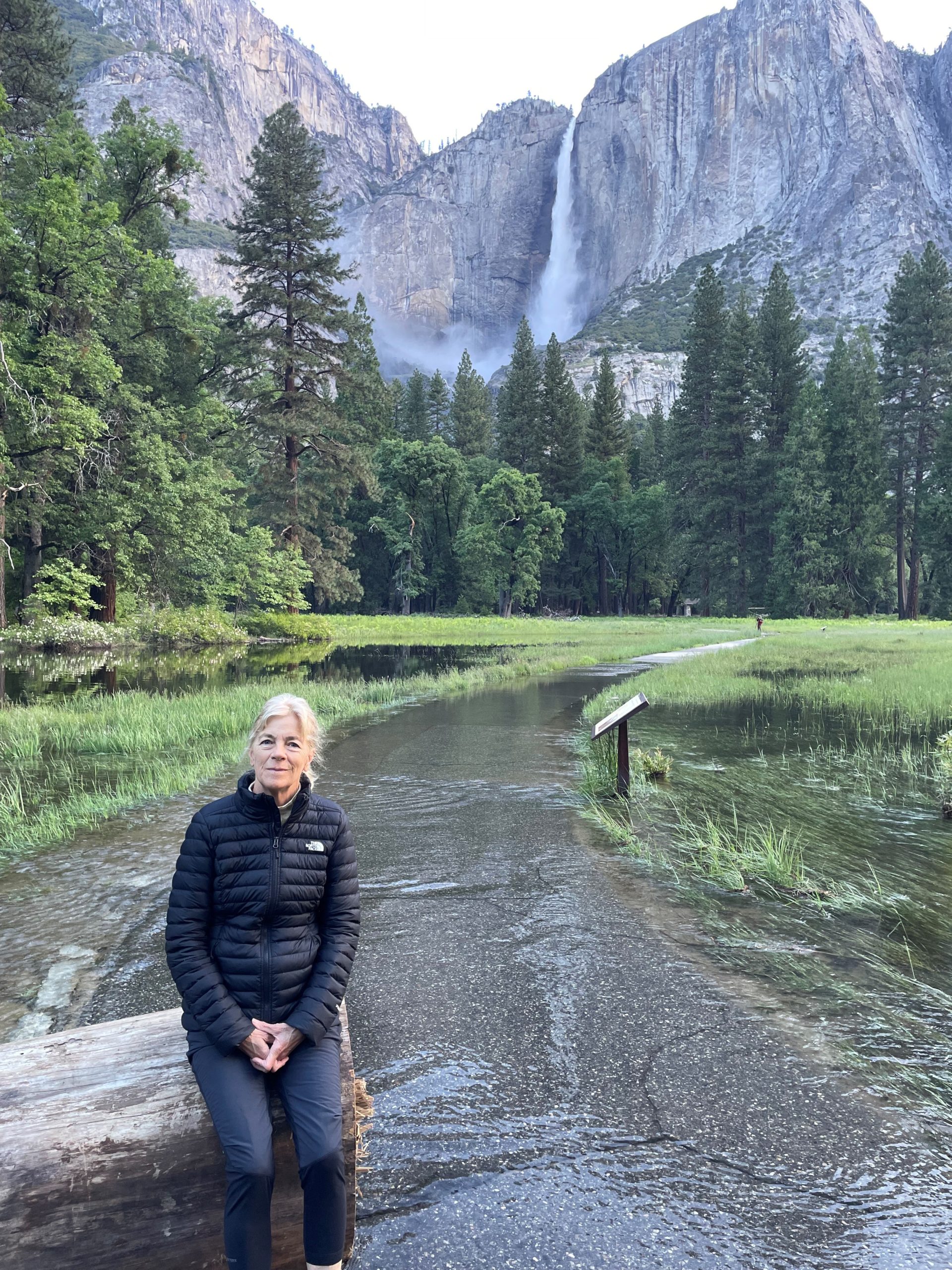
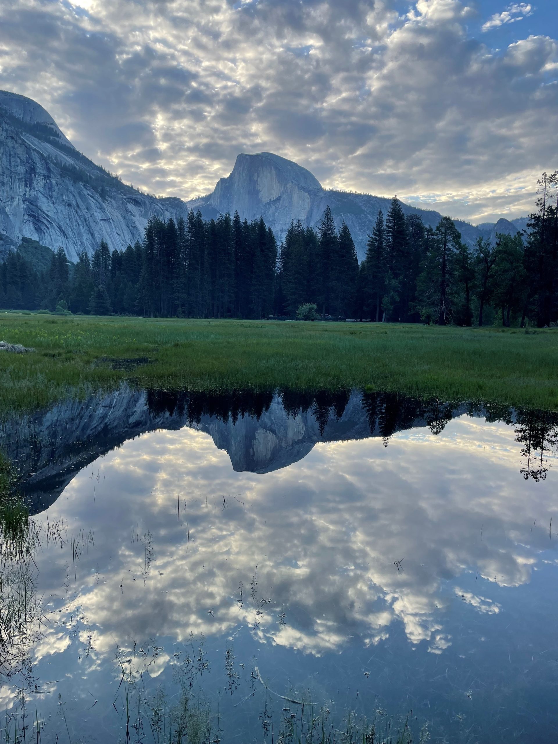
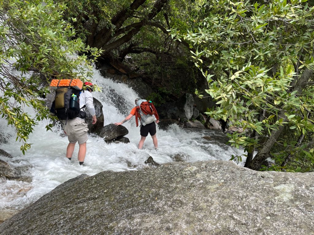
I had a chance to spend 5 really wonderful days in Yosemite – Yosemite Valley, not Hetch Hetchy, at the beginning of June.
In between meetings and events, there was time for hiking, biking and exploring. There’s nothing like Yosemite in early June of a wet year. It took a little doing to avoid most of the large crowds, but it is also great to see so many people marveling at one of earth’s most spectacular landscapes in its full glory.
See below for a few pictures.
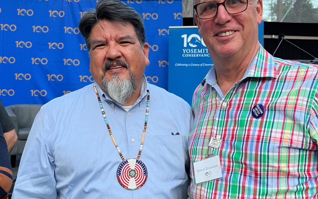
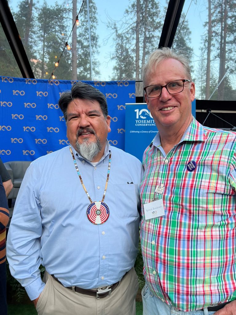
Restore Hetch Hetchy board and staff met with several National Park Service folks, including those who manage the Hetch Hetchy area. We are continuing to advocate aggressively for a better visitor experience. We will get more into these details in our next communication but note the NPS has extended hours at the Hetch Hetchy gate this year – hooray! We do not fully agree with the NPS on all aspects of park management, but they are an impressive bunch and it’s important to hear the perspectives of the people who have dedicated their professional lives to our national park.
NPS Director Chuck Sams’ after-dinner speech about his personal experiences and our national parks was special.
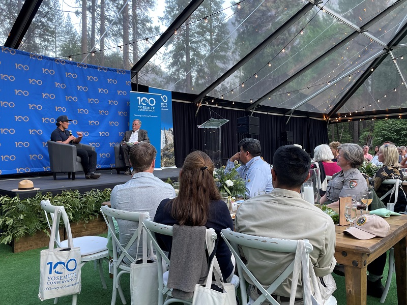
The weekend marked the 100th Anniversary of the Yosemite Conservancy – which traces its roots to 1923, when the Yosemite Museum Association was established as the original nonprofit organization in partnership with the National Park Service. The Conservancy hosted a number of activities and events, including tours of the new Bridalveil Fall viewing area and the Southern Sierra Miwuk Nation’s Wahhoga village as well as a gala dinner featuring speakers filmmaker Jimmy Chin and National Park Service Director Chuck Sams.
The Bridalveil Fall viewing area is the Conservancy’s latest large project, helping to accommodate park visitors while protecting the park. The list of such projects is impressive indeed – it includes Glacier Point, Tenaya lake, Lower Yosemite Fall, the Mariposa Grove etc. Nothing in Hetch Hetchy yet, but we have some ideas for them.
Our small group toured the rebuilt Wahhoga Village, guided by tribal members – some old enough to remember when the village was destroyed in the late 1960s. The Southern Sierra Miwuk Nation is one of seven tribes traditionally associated with Yosemite. The SSMN are still engaged, however, in a struggle with the Bureau of Indian Affairs for federal recognition and they welcome support from the public on their website. (See here for Restore Hetch Hetchy’s letter.)
Jimmy Chin with Frank Dean on stage, Director Chuck Sams and Superintendent Cicely Muldoon listening.
The Yosemite Conservancy hosted a gala dinner in a meadow near the Ahwahnee Hotel. National Park Service Director Chuck Sams delivered an impressive speech about the importance of stewarding our parks for future generations. Yosemite Conservancy President then interviewed Filmmaker Jimmy Chin (“Free Solo”) about his life as a self-described “dirtbag” climber. Jim related a quote from his skeptical immigrant father, who told him “our (Chinese) language is 5000 years old but we have no word for what you do.”
Beyond the magnificence of Yosemite in June, inspiration came from so many different people experiencing the park in their own way – visitors from across the United States and around the world (speaking so many different languages), National Park Service leadership and Rangers, the plethora of Yosemite Conservancy supporters and the dirtbag climbers. Everyone seemed to be smiling.
Naturally, there were substantial opportunities to lobby all for help making improvements to Hetch Hetchy Valley. There is a lot of follow-up to do after an exciting trip.
Best,
Spreck Rosekrans
(Click to expand images below.)

Merced River overflowing the pathway. The meadow was empty of visitors in the early morning.
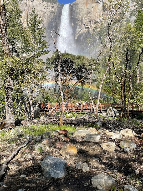
A rainbow at Bridalveil.


by Marissa | May 23, 2023 | Uncategorized
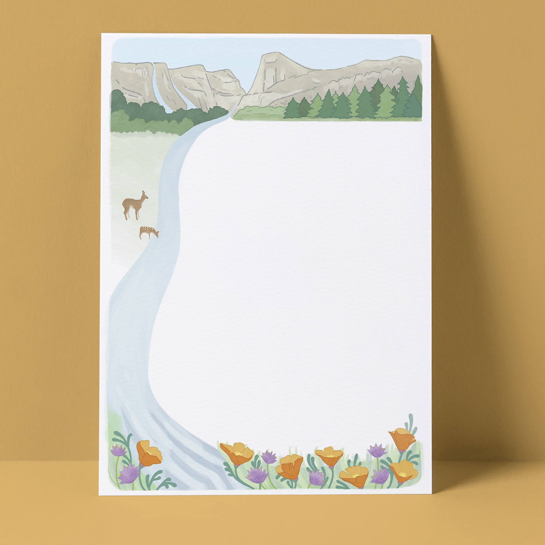
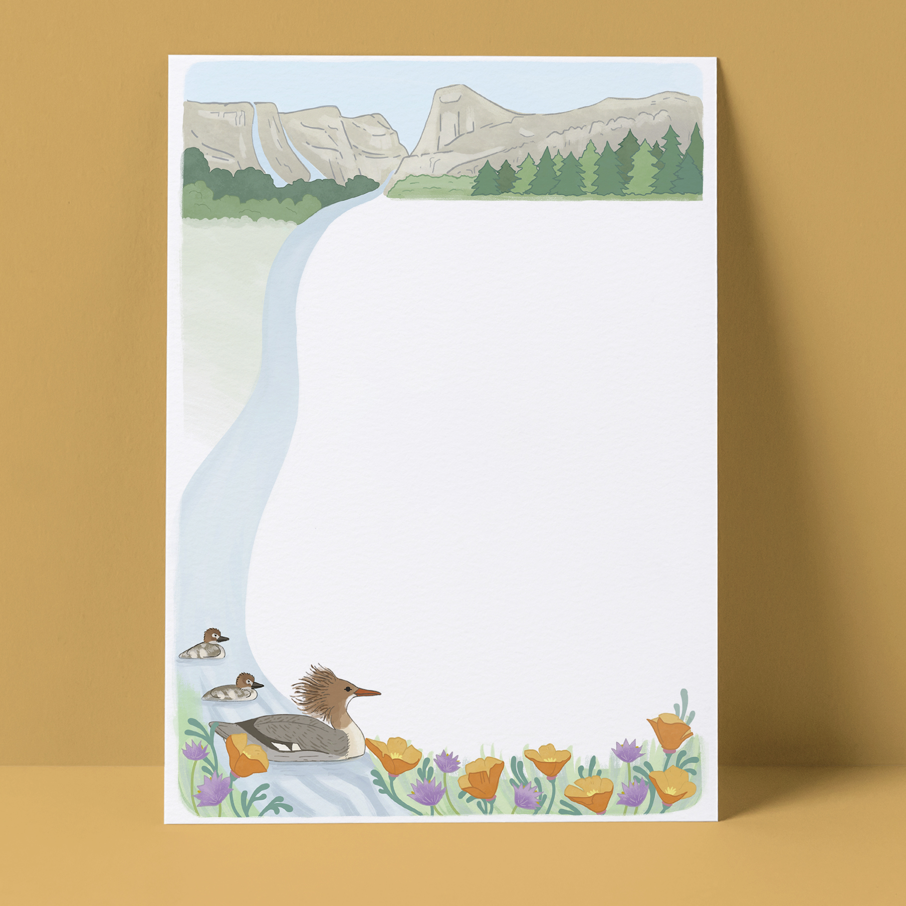
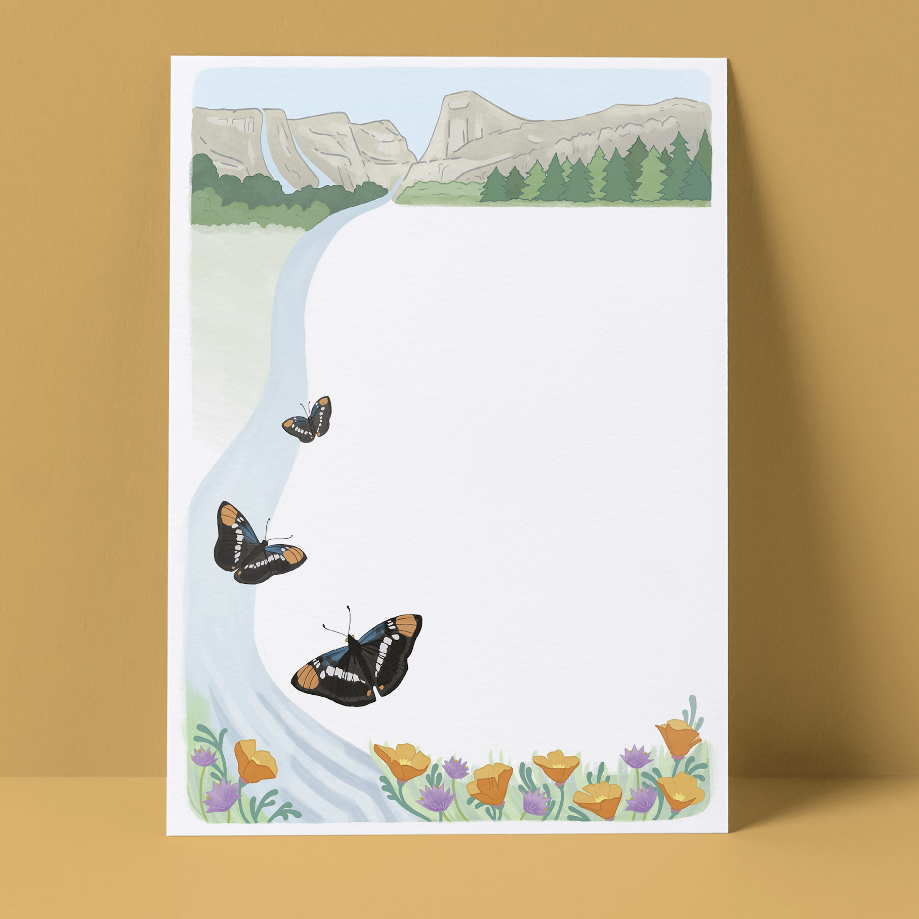
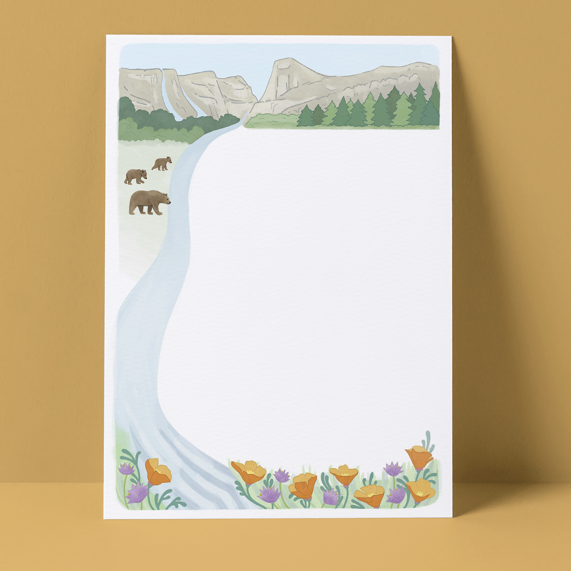
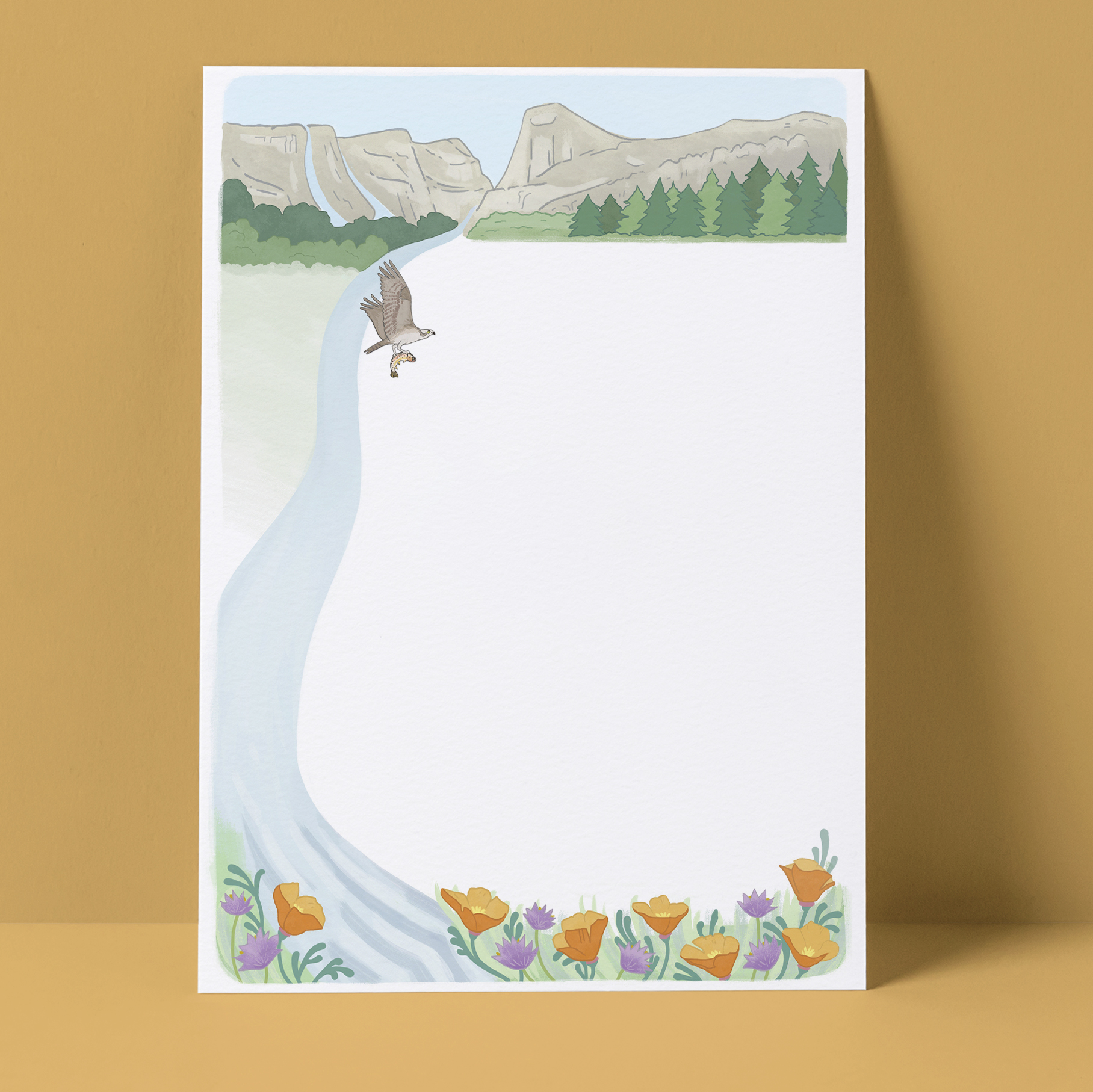
As featured in our Spring 2023 Newsletter, a new set of Hetch Hetchy notecards with art by Lesley Goren is available. The art is an expansion on the letterhead she created for us. Click on each of the images below to zoom in on the artwork.
On the front of the notecards is a beautiful image of California wildflowers. Inside each notecard is Lesley’s imagining of wildlife in a restored Hetch Hetchy Valley. A set of notecards includes five different designs.
Please email admin@hetchhetchy.org if you’d like to order a set.
They are available at a donation of $15 per box.